Geography and Climate
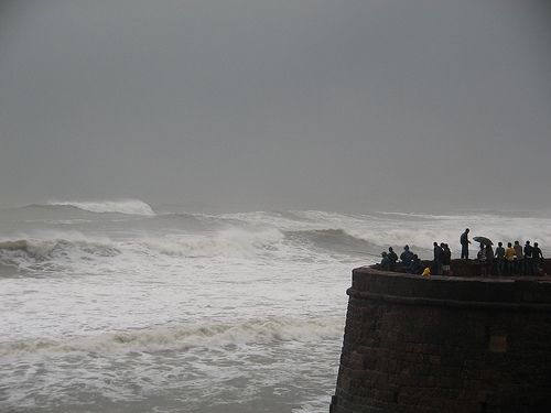
Geography Goa is part of the Konkan, a region that slopes to the Western Ghats range of mountains, which separate it from the Deccan Plateau. The highest point is the Sonsogor, with an altitude of 1,167 meters (3,827 feet). Goa has one of the longest coastlines, amounting to 101 kilometers (63 miles). The main rivers in Goa are the Mandovi, the Zuari, the Tiracol, the Chapora River and the Sal. The Zuari and the Mandovi are the lifelines of Goa, with their tributaries draining 69% of its geographic area. Goa has more than forty estuarine, eight marine and about ninety riverine islands. The total navigable length of Goa's rivers is 253 km (157 miles). Goa has more than three hundred ancient tanks built during the rule of the Kadamba dynasty and over a hundred medicinal springs. The Mormugao harbor on the mouth of the river Zuari is worth a mention, since it is one of the best natural harbors in South Asia. Climate In the tropical zone and near the Arabian Sea, Goa has a hot and humid climate for most of the year. The month of May is usually the hottest, with temperatures soaring over 35 °C (95 °F) coupled with high humidity. The nights are not that different but they do get a little cooler depending on wind conditions. The monsoon rains arrive by early June and provide a much needed respite from the few preceding months of summer. Most of Goa's annual rainfall happens during the monsoon season, which lasts till late September/ early October. On occasion, there have been a few light showers, lasting a few minutes at the most, from November right up to March. Goa has a short winter season between mid-December and February. These months are marked by nights of around 20 °C (68 °F) and days of around 29 °C (84 °F) with moderate amounts of humidity. Further inland, the nights are relatively cooler, with visibility reduced to a minimum on account of the fog that appears around open fields. Goa encompasses an area of 3,702 km² (1,430 sq miles). It lies between the latitudes 14°53'54" N and 15°40'00" N and longitudes 73°40'33" E and 74°20'13" E. Some of the oldest rocks in the Indian subcontinent are found in Goa between Molem and Anmod on Goa's border with Karnataka. The rocks are classified as Trondjemeitic Gneiss estimated to be 3,600 million years old, dated by the Rubidium isotope dating method. A specimen of the rock is exhibited in the Goa University.
|